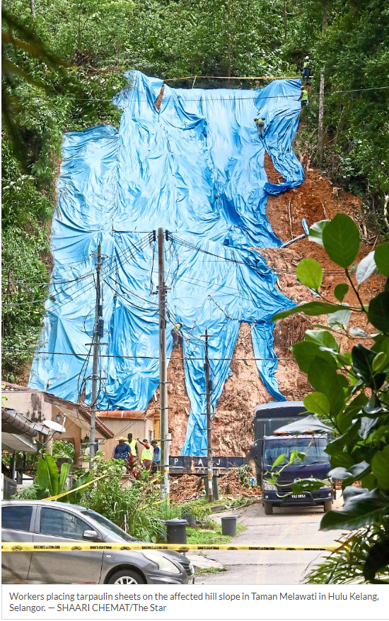
He said the landslide at Jalan Serdang, Taman Melawati, was one of 114 high-risk “hotspot” areas identified by MPAJ.
“Some 400 sites are classified as moderate risk. But there are 114 serious ones including this location,” he said after a site visit.
He called on landowners to be proactive concerning their land.
“In this case, the landowner has been issued a notice to maintain the road and drains,” said Amirudin, adding that the landslide was not due to overdevelopment but could have been caused by lack of infrastructure maintenance.
His statement comes following earlier reports stating that the Taman Melawati landslide could have been triggered by clogged drainage at the top of the slope.
Amirudin said an overflow of water gushing from the hillside was caused by blocked drains filled with rocks and soil.
“We estimate the overflow has been occurring for a while, not just recently,” he said.
“Yesterday’s (Tuesday) overflow was rather unusual and extensive.
“The entire area, including the drains, is still under the developer or landowner’s supervision and we have issued the necessary notices to relevant parties to maintain the land and drainage.
“I was informed that the area is used as a jogging track, so we have temporarily sealed off the location until the Mineral and Geoscience Department confirms the land is safe and stable.”
Amirudin reminded local authorities to respond immediately to complaints received, especially at high-risk areas.
“When a report is received, check the land status. If it is privately owned land, the owner must be informed to take the necessary steps,” he said.
“I want to clarify that the lands affected are privately owned and have been registered for a long time, with no developments on the landslide site itself.
“However, there is an ongoing development project above the landslide area.
“From now, responsibility for slope maintenance and related matters must fall on respective landowners,” he added.
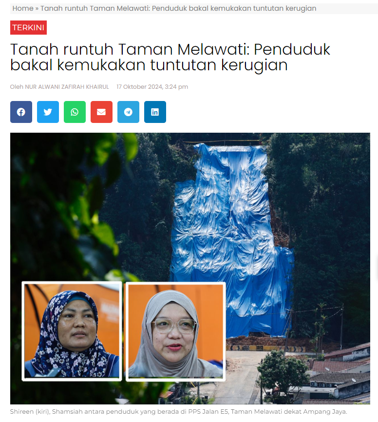
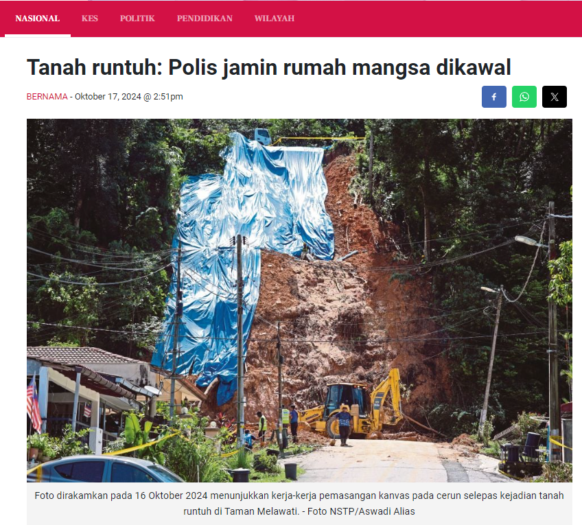
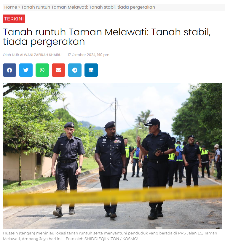
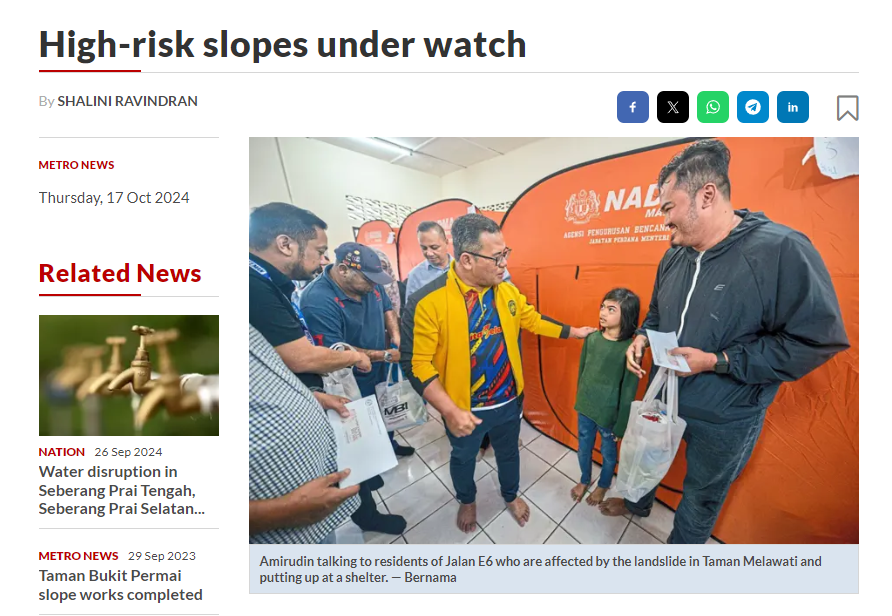
The landslide forced the evacuation of 20 residents in Jalan E6 which faces Jalan Serdang.
As of 2pm yesterday, residents have not been allowed home.
The Ampang area has seen several high-profile landslide incidents over the past few years.
In March 2022, four people died when slope failure led to a massive landslide in Taman Bukit Permai 2, Ampang.
Fifteen houses and 10 vehicles were also damaged.
In January 2023, Selangor government said the 15 houses were found unsafe and residents were told to vacate their homes.
")