")
PETALING JAYA: The Works Ministry is closely monitoring federal roads which are prone to high-risk flooding that can lead to slope failures in the current wet season, says its Minister Datuk Seri Alexander Nanta Linggi.
He said that besides on-site monitoring, the Public Works Department (JKR) is constantly keeping an eye on the rainfall.
Linggi said the ministry’s departments and agencies are all jointly working with the Mineral and Geoscience Department Malaysia, National Disaster Management Agency (Nadma), Irrigation and Drainage Department, the Meteorology Department and other relevant bodies as landslides are natural disasters under their purview.
“JKR’s disaster operations room – known as BiGBen – is JKR’s one-stop-centre for disaster management, including floods, landslides, road subsidence, damaged or collapsed bridges that involve roads and slope infrastructures under the supervision of JKR throughout Malaysia.
“At the moment, BiGBen is in Stage Two and is operational from 8am to midnight,” he said.
JKR has also installed rain gauge stations and early warning systems that can monitor the movement of the slope surface at crucial spots. This will offer warnings for potential landslides in advance.
“In order to be prepared for the monsoon season, JKR has also identified all high-risk flooding roads that can lead to slope failure, particularly on road infrastructures by maintaining, cleaning, and repairing drainage systems from clogging and debris that can hinder the flow of water,” said Linggi.
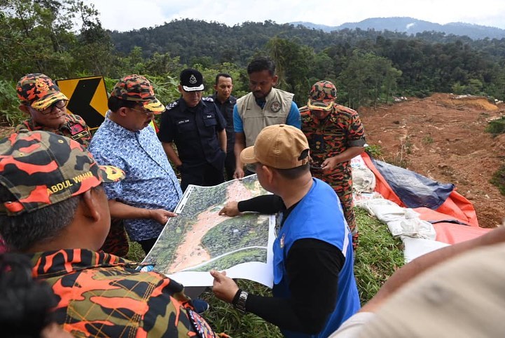
National Disaster Management Agency (Nadma) deputy director-general (Post-disaster) Datuk Khairul Shahril Idrus said Nadma will step when a landslide incident is declared as a national disaster by the National Security Council (NSC).
“Otherwise, local authorities will step in to assist the victims. We are guided by the NSC orders.
“The Works Ministry and the Mineral and Geoscience Department Malaysia are the responsible agencies in monitoring slopes. They then share their monitoring reports and slope risk hazard map data with Nadma.
“The Nadma disaster command centre operates 24/7 year round and not only during the monsoon season,” he said.
