")
Kota Kinabalu: Sabah will install early warning systems for natural disasters such as landslides, which can cause loss of life and extensive property damage. Sabah Mineral and Geological Survey Director Dr Frederick Francis Tating said early warning systems would be installed at various locations following the recent completion of four-month geological mapping studies in the State.Sabah recorded a total of 192 landslides between 1961 and 2023. “One of the areas for the system is Mesilau in Kundasang where there was a major mud flood.
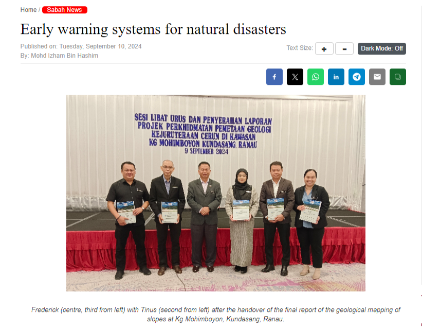
“They are planning to install an early warning system for the flow of debris there,” he told the media after handing over the final report of the latest study of Kampung Mohimboyon in Kundasang. Frederick said the system would also be installed in the village, which recorded 52 slopes and 40 landslides, which showed instability risks. The Chief Executive of Ranau District, Tinus bin Manggam, hopes the study would lead to the creation of an effective early warning system for the district, especially in the highland areas of Kundasang and Ranau where there is growing interest in tourism development.
“Safety should be paramount, thus what we need is a more structured development, especially on hillsides, to prevent the risk of landslides that can cause unnecessary loss of life and property damage,” he said.
Results of the recent slope mapping study showed Kundasang has various degrees of geological disaster risk.The presentation indicated that in the worst-case scenario, a catastrophe would occur within minutes in an area of about 2,000 people, including schoolchildren.Additionally, the presentation also mentioned records of earth movements ranging from 0.01mm to 5 metres, the presence of cracks in buildings and landslides in the district of about 30,000 people.
Frederick said the findings would be shared with relevant stakeholders, especially those involved in development sectors in Ranau.Among the resolutions prepared by the department include a NATSIS system for future land application and disaster management operations. He noted the system can help reduce project costs and time by identifying geological disaster hazards at proposed project sites at advanced notice, thus mitigating potential hazards. “There is also a need to integrate data between agencies to serve as a reference for future development planning,” said Frederick, who noted the maps produced should also identify safe zones for use by the Disaster Operations Control Centre. “In addition, early planning is required to ensure the suitability of site selection based on hazard levels for any infrastructure development, such as the construction of school buildings, in areas at risk of geological hazards.“Any development in geologically sensitive areas must take into account expert advice from technical agencies and refer to the level of seismic hazard and the presence of active faults in the area.”
