Engineering Geology and Geological Hazard Projects

Slope Hazard Map and National Slope Risk Map Project (PBRC)
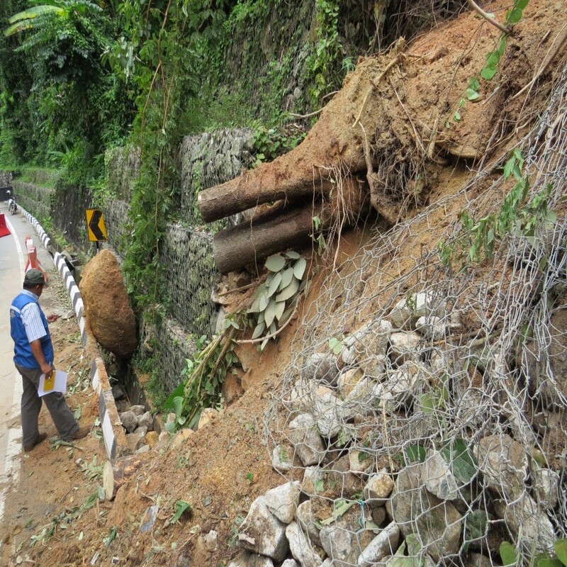
Requires the mapping of landslides which will serve as a fundamental component in the analysis for the production of hazard and slope risk maps.

Critical Slope Monitoring Project

Dam Safety Inspection
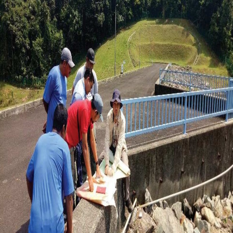
The inspection is achieved by analyzing satellite images and conducting engineering geological mapping to enable the identification of factors that may jeopardize the integrity of the dam structures and reservoir areas.

Geological Disaster Investigation
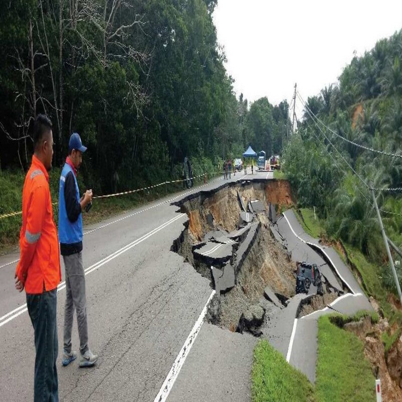
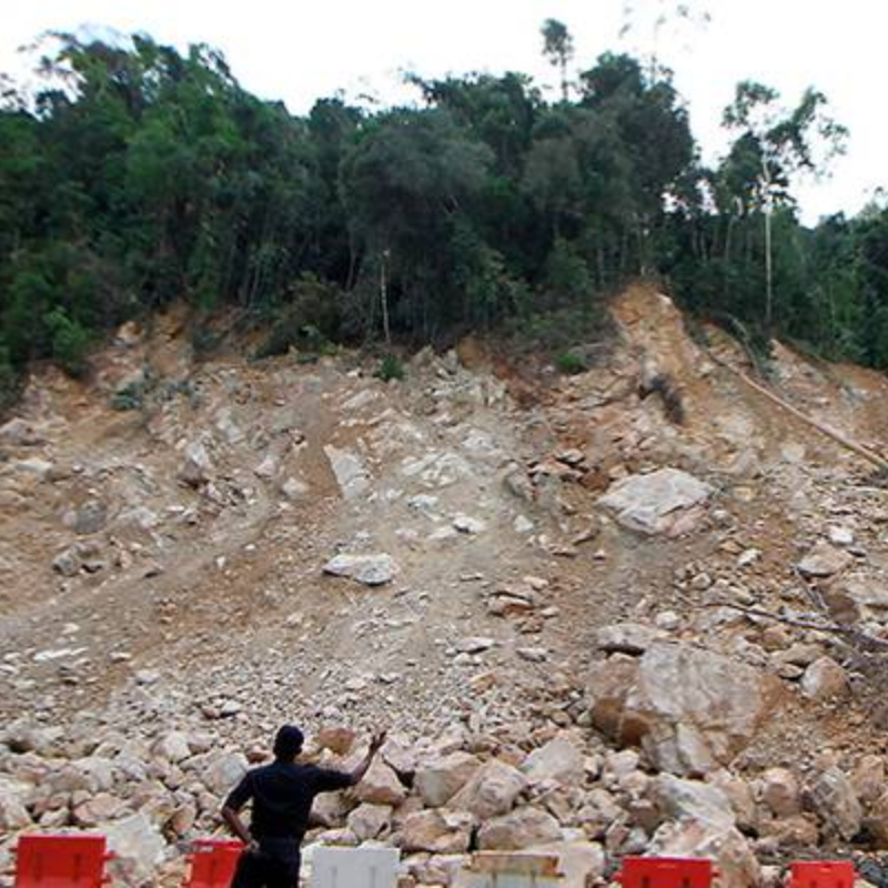
Investigations conducted nationwide on rockfalls, landslides, mud floods, land subsidence, and sinkholes provide valuable insights that aid in the development of effective mitigation measures for failed slopes.

